
| Za'atara | |
| Translit Lang1: | Arabic |
| Translit Lang1 Type: | Arabic |
| Translit Lang1 Info: | زعترة |
| Type: | Municipality type C |
| Pushpin Map: | Palestine |
| Pushpin Map Caption: | Location of Za'atara within Palestine |
| Coordinates: | 31.6756°N 35.2556°W |
| Grid Name: | Palestine grid |
| Subdivision Type: | State |
| Subdivision Name: | State of Palestine |
| Subdivision Type1: | Governorate |
| Subdivision Name1: | Bethlehem |
| Established Title: | Founded |
| Unit Pref: | dunam |
| Population Footnotes: | [1] |
| Population Total: | 7849 |
| Population As Of: | 2017 |
| Population Density Km2: | auto |
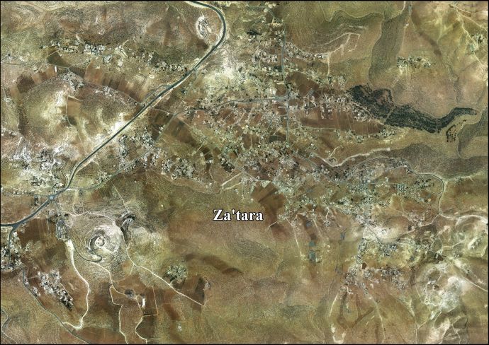
Za'atara (ar|زعترة) is a Palestinian town located 11km (07miles) southeast of Bethlehem. The town is in the Bethlehem Governorate central West Bank. According to the Palestinian Central Bureau of Statistics, the town had a population of over 7,849 in 2017. Founded by the at-Ta'mira Bedouin tribe, it is part of the 'Arab at-Ta'mira village cluster, along with Beit Ta'mir, Hindaza, Khirbet al-Deir (today part of Tuqu'), Tuqu', Nuaman, Ubeidiya and al-Asakra.
In the wake of the 1948 Arab–Israeli War, and after the 1949 Armistice Agreements, Za’atara came under Jordanian rule.
In 1961, under Jordanian rule, the population of Za'atara was 1,003.[2]
Since the Six-Day War in 1967, Za'atara has been held under Israeli occupation. 1,282 people were counted in the Israeli government's 1967 census.[3]
After the 1995 accords, 0.9% of Za'atara land was classified as Area A, 44% classified as Area B, and 32.6% classified as Area C, while the remaining 22.5% is defined as "nature reserves".[4] Israel has confiscated 20 dunams of village land for the Israeli settlement of El David and 10 dunams for an Israeli Military Base.[5]