
| Uguy | |
| Other Name: | Угуй |
| Coords: | 56.0411°N 76.0819°W |
| Pushpin Map: | Russia Novosibirsk Oblast#Russia |
| Basin Countries: | Russia |
| Length: | 7.3km (04.5miles) |
| Width: | 2.5km (01.6miles) |
| Area: | 17.7sqkm |
| Elevation: | 111m (364feet) |
| Cities: | Uguy |
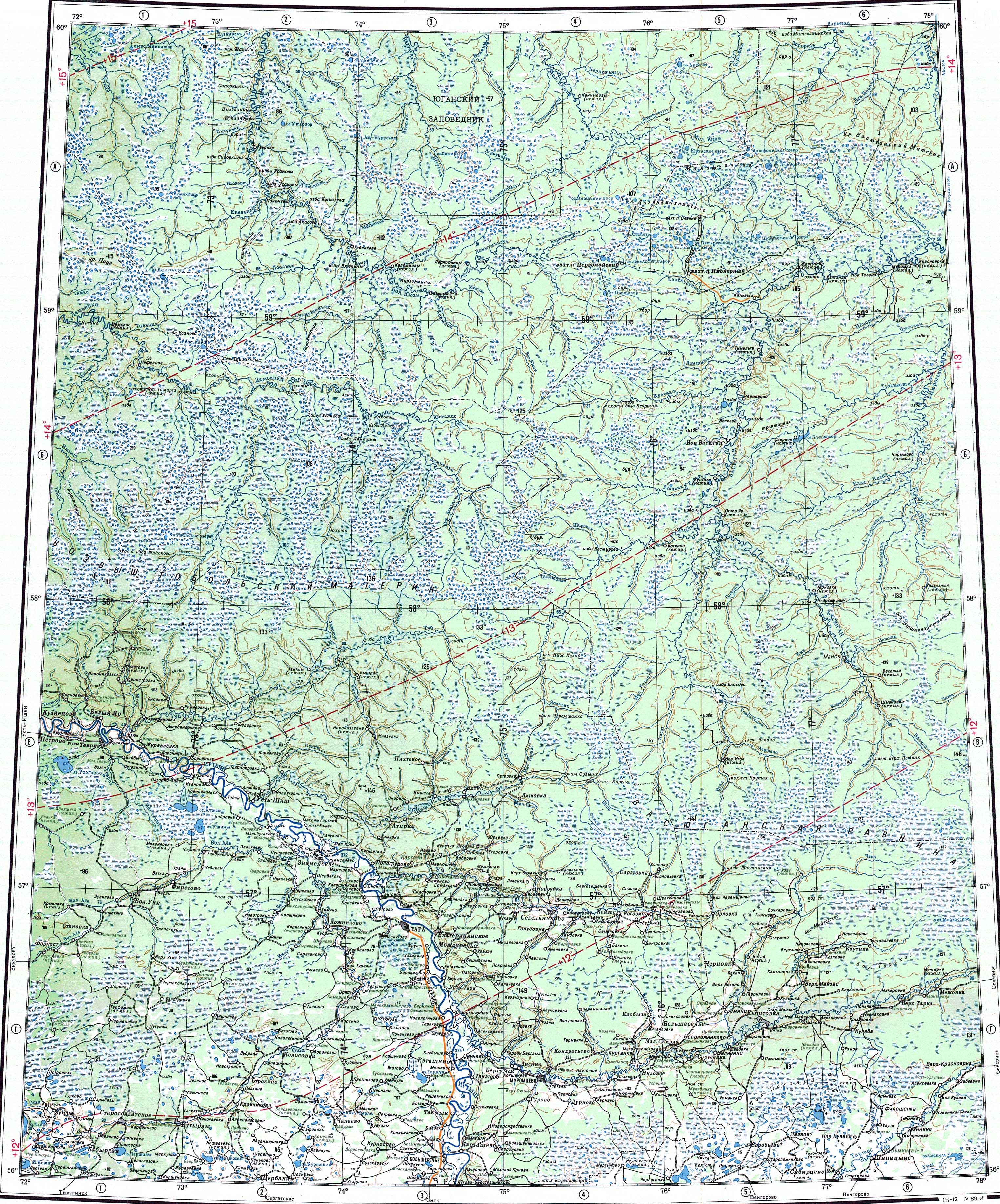
Uguy (ru|Угуй) is a lake in Ust-Tarksky District, Novosibirsk Oblast, Russian Federation.[1]
The lake is located at the western end of the Oblast. The nearest inhabited place is Uguy, by the northwestern lakeshore. Ust-Tarka, the district capital, lies 62km (39miles) to the SSW.[2]
There is a 476ha protected area by the southern shore of the eastern part near Mirny village.[3]
Uguy lies in the Baraba Lowland, West Siberian Plain. It is the largest lake of Ust-Tarksky District. The lake has two wings or lobes, a western one and an eastern one, connected to each other by a 150m (490feet) wide sound. The western wing is roughly oriented from northwest to southeast, and the eastern from north to south. The southeastern half of the western lobe is a swamp.[4] [5]
River Irtysh flows 80km (50miles) to the west and the Om flows 45km (28miles) to the southeast. Lake Chany lies 134km (83miles) to the southeast.[2]