
| Country: | USA |
| Type: | US |
| Route: | 383 |
| Map Custom: | yes |
| Map Notes: | US 383 highlighted in red |
| Length Mi: | 190 |
| Established: | 1942 |
| Deleted: | 1982 |
| Direction A: | South |
| Terminus A: | in Oakley, KS |
| Direction B: | North |
| Terminus B: | in Elm Creek, NE |
| Spur Of: | 83 |
| Spur Type: | US |
U.S. Route 383 was a north - south United States highway. US 383 was created in 1942, and deleted in 1982. After deletion, a portion of the highway became K-383.
See main article: K-383 (Kansas highway). US-383 began in Oakley, heading north along present-day US-83. A short distance north of Oakley, the route intersected I-70. In Halford, US-83/US-383 crossed over US-24. From here, the road turned northeast, where US-383 split from US-83 near Leoville. US-383 continued to the northeast until meeting US-36. At this point, the route turned east for a concurrency with US-36, crossing US-283 in Norton. Past Norton, US-383 split from US-36 and resumed northeast, reaching an intersection with US-183 near Woodruff a short distance south of the Nebraska border.[1] [2]
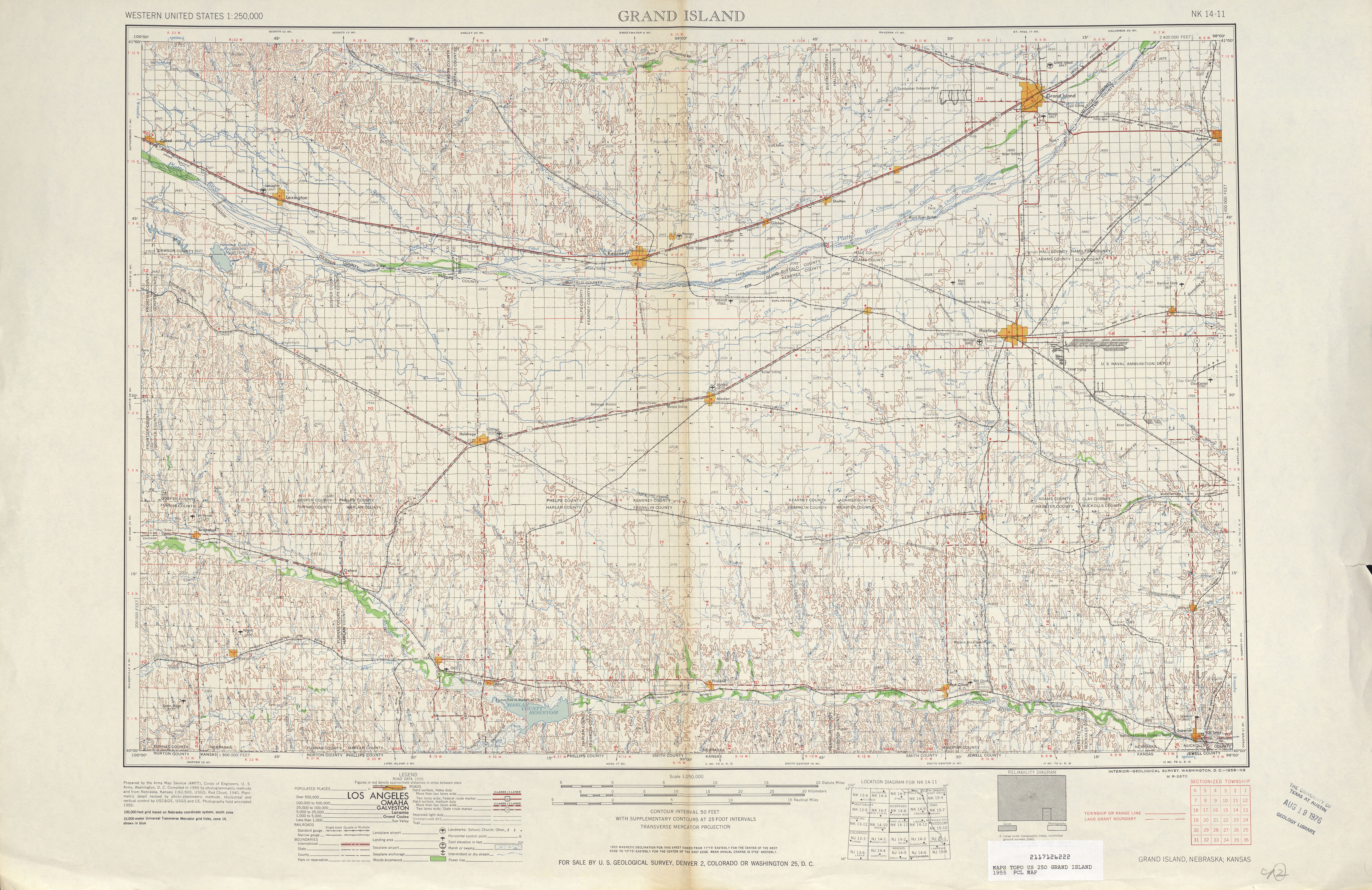
In Nebraska, US-383 continued north on the present alignment of US-183, reaching an intersection with US-136 in Alma.[1] [2] Prior to 1964, US-383 continued north past Alma, intersecting US-6/US-34 in Holdrege before ending at US-30 in Elm Creek.[1] [3]
When the route was first commissioned in 1942, it ran from Oakley, Kansas to Elm Creek, Nebraska, a distance of 175miles. In 1964, the north end of US 383 was truncated to Alma, Nebraska.