
| Type: | suburb |
| The Falls | |
| State: | qld |
| Coordinates: | -28.3172°N 152.3947°W |
| Pop: | 51 |
| Postcode: | 4373 |
| Area: | 55.5 |
| Timezone: | AEST |
| Utc: | +10:00 |
| Dist1: | 12.2 |
| Dir1: | E |
| Location1: | Killarney |
| Dist2: | 45.8 |
| Dir2: | SE |
| Location2: | Warwick |
| Dist3: | 59.6 |
| Dir3: | SW |
| Location3: | Boonah |
| Dist4: | 147 |
| Dir4: | SW |
| Location4: | Brisbane |
| Lga: | Southern Downs Region |
| Stategov: | Southern Downs |
| Fedgov: | Maranoa |
| Near-N: | Mount Colliery |
| Near-Ne: | The Head |
| Near-E: | Koreelah (NSW) |
| Near-Se: | Koreelah (NSW) |
| Near-S: | Legume (NSW) |
| Near-Sw: | Legume (NSW) |
| Near-W: | Killarney |
| Near-Nw: | Mount Colliery |
The Falls is a rural locality in the Southern Downs Region, Queensland, Australia.[1] In the, The Falls had a population of 51 people.
It borders New South Wales.
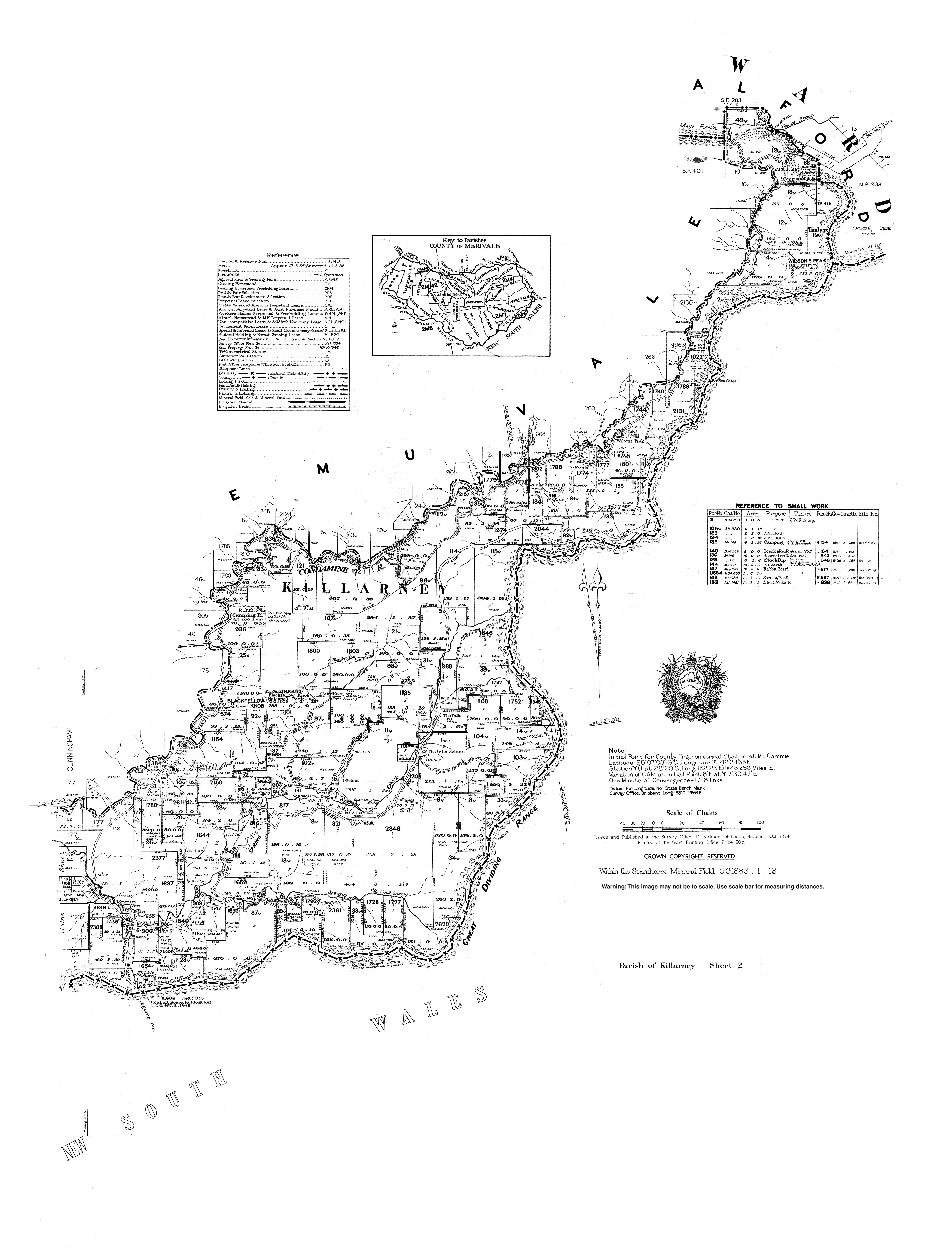
The location presumably takes its name from the Queen Mary Falls on Spring Creek within the locality.[2]
Ferndale Provisional School opened on 9 November 1948. In 1953 it became The Falls State School in 1953. The school closed on 26 August 1974. The school was located at 902 Spring Creek Road .[3]
In the, The Falls had a population of 70 people.
In the, The Falls had a population of 51 people.
There are a number of attractions in the locality: