
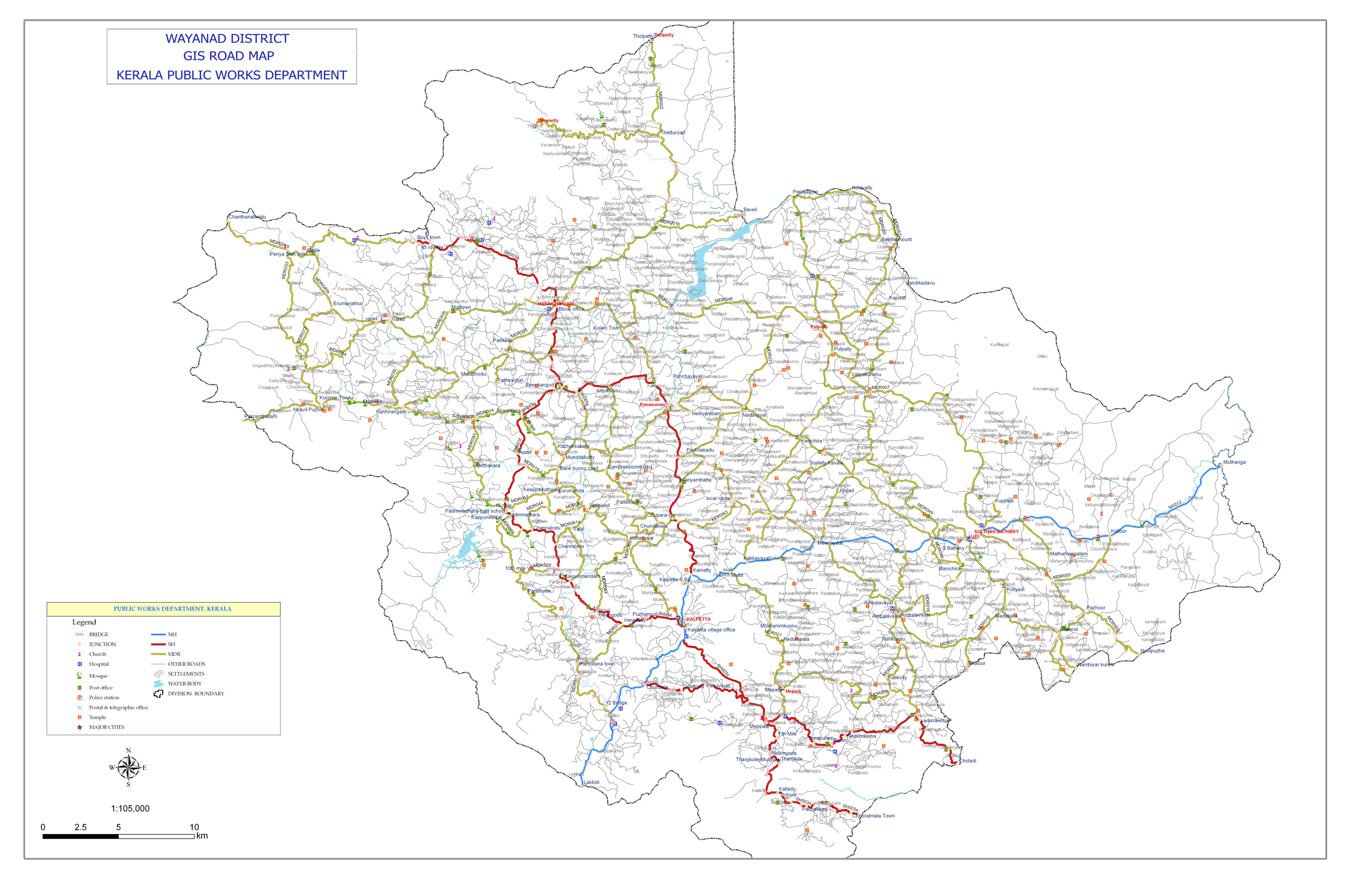
| Country: | IND |
| Type: | SH |
| State: | Kerala |
| Route: | 29 |
| Alternate Name: | Kozhikode - Vythiri - Gudallur Road |
| Map Custom: | yes |
| Map Notes: | SH 29 highlighted in red |
| Maint: | Kerala Public Works Department |
| Length Km: | 30 |
| Direction A: | West |
| Direction B: | East |
| Districts: | Wayanad |
| Previous Type: | SH |
| Previous Route: | 28 |
| Next Type: | SH |
| Next Route: | 30 |
State Highway 29 (SH 29) is a State Highway in Kerala, India that starts at junction of NH 766 at Chundale near Kalpetta and ends in Kerala State Boundary with Tamil Nadu. This highway was originally Kozhikode - Vythiri - State Border and was 97 km long.[1] After the section of the highway from Kozhikode until Chundale became part of NH 212, this highway is now 31.0 km long.
This highway now passes through only Wayanad district.[2]
NH 212 - Chundale - Meppadi - Vaduvanchal - Choladi - State Boundary - Road to Gudalur & Ooty