
The Sea of the Southern Zone (es|Mar de la Zona Austral)[1] or Southern Zone Sea is the name given by Argentina and Chile to the maritime area whose boundaries were undefined, located south of the Isla Grande de Tierra del Fuego. This maritime space was subject to delimitation in the Treaty of Peace and Friendship of 1984 between Chile and Argentina, which ended the Beagle conflict or "Southern Zone conflict."
The definition of this maritime area was constrained by the necessity for the parties ratifying the treaty to avoid referring to the area under delimitation as part of either the Atlantic Ocean or the Pacific Ocean, since the two countries could not agree on its affiliation to one ocean or the other. After the signing of the treaty in 1984 and its ratification in 1985, the name "Sea of the Southern Zone" has been largely ignored in both countries, which continue to use their traditional names in cartographic representations of the area. For this reason, parts of this sea are sometimes linked to the Argentine Sea, Chilean Sea or the Drake Passage.
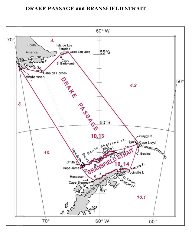
The name "Sea of the Southern Zone" has not been adopted internationally, and the International Hydrographic Organization did not include the Sea of the Southern Zone in the draft of the 4th edition of its publication Limits of Oceans and Seas, issued via Circular CL55 of (the 3rd edition dates from 1953).[2] In this draft, Chile, in agreement with Russia and the United Kingdom, proposed as the northern limit of the Drake Passage the line connecting Waterman Island, Cape Horn, Cape San Bartolomé on Isla de los Estados, and the southern coast of that island to Cape San Juan de Salvamento, clearly overlapping areas under the delimitation of the Sea of the Southern Zone.[3]
The boundaries of the Sea of the Southern Zone have only been precisely defined in its northern part, where it reaches the shores of Isla de los Estados from its eastern extremity, the mouth of the Le Maire Strait, and the coast on the Isla Grande de Tierra del Fuego to the eastern mouth of the Beagle Channel at Cape San Pío. To the west, it extends at least to the Chilean straight baselines — though it is unclear whether it extends further west — which skirt the southeast coast of Isla Nueva, the Evout and Barnevelt islets, Deceit Island, and Hornos Island, continuing south to the meridian of Cape Horn. The eastern boundary has not been defined, reaching at least the polygonal line defined in the treaty between points A and E, leaving the connection between point F of the polygon and the eastern extremity of Isla de los Estados undefined. It is not specified whether it extends to the limit of the Argentine exclusive economic zone that was part of the conflict.
See main article: article. The researchers Juan Ignacio Ipinza Mayor and Cedomir Marangunic Damianovic put forward the scientific theory that the separation of the Pacific and Atlantic Ocean oceans "could be confirmed from the so-called Shackleton Fracture Zone ... the boundary is then located east of the so-called Cape Horn Meridian".[4]