
| Salem | |
| Settlement Type: | Dispersed Rural Community |
| Pushpin Map: | Canada Southern Ontario |
| Pushpin Map Caption: | Location in southern Ontario |
| Coordinates: | 44.0544°N -81.3011°W |
| Coordinates Footnotes: | [1] |
| Subdivision Type: | Country |
| Subdivision Name: | Canada |
| Subdivision Type1: | Province |
| Subdivision Name1: | Ontario |
| Subdivision Type2: | County |
| Subdivision Name2: | Bruce |
| Subdivision Type3: | Municipality |
| Subdivision Name3: | South Bruce |
| Unit Pref: | Metric |
| Elevation Footnotes: | [2] |
| Elevation M: | 283 |
| Population Density Km2: | auto |
| Timezone1: | Eastern Time Zone |
| Utc Offset1: | -5 |
| Timezone1 Dst: | Eastern Time Zone |
| Utc Offset1 Dst: | -4 |
| Postal Code Type: | Postal Code |
| Postal Code: | N0G 2S0 |
| Area Code: | 519, 226, 548 |
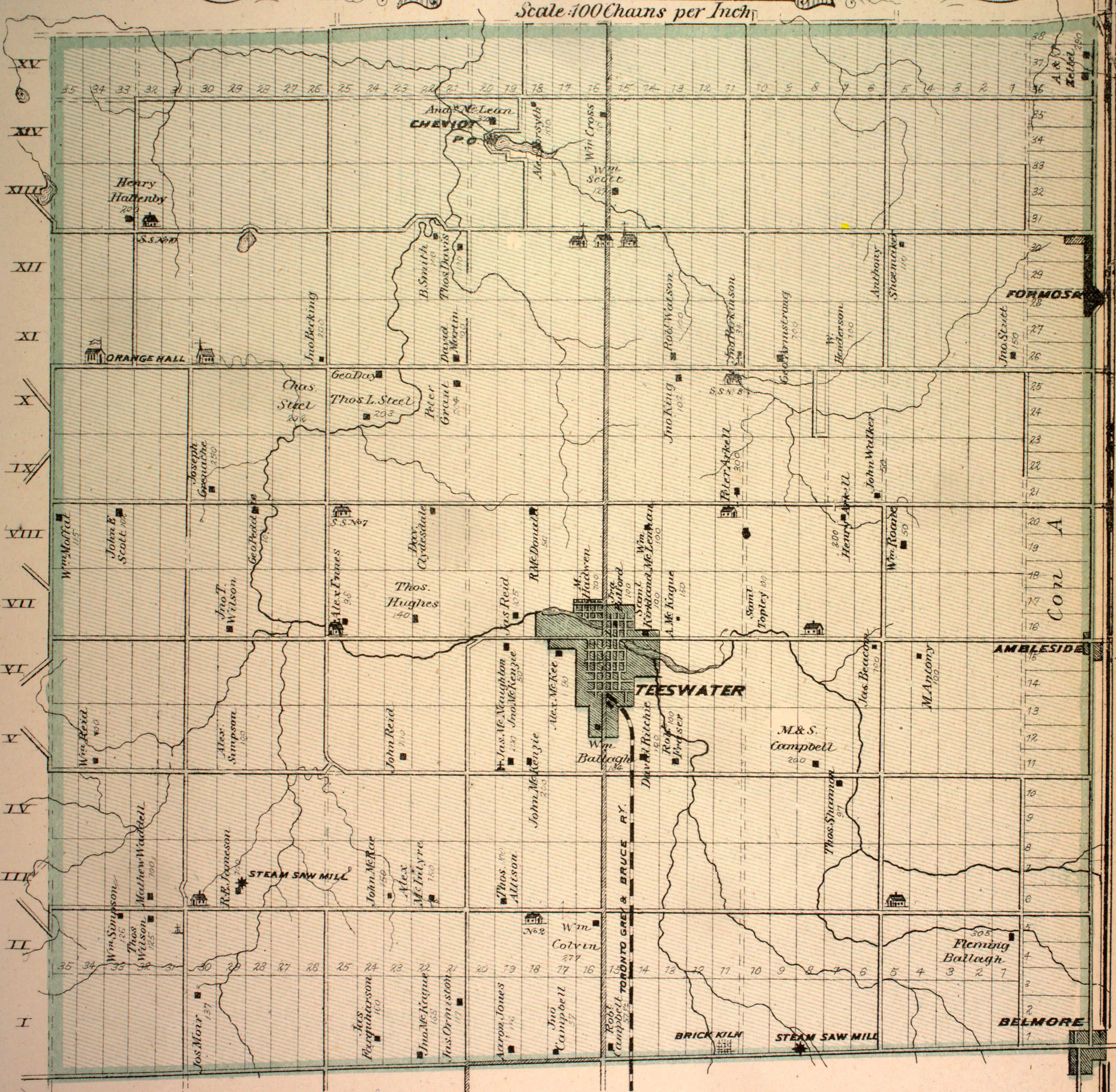
Salem is a Dispersed Rural Community and unincorporated place in the municipality of South Bruce, Bruce County in southwestern Ontario, Canada.[3] [4] The community is in geographic Culross Township[5] at the intersection of Bruce County Road 4 and Concession Road 12, north of the community of Teeswater and west of the community of Formosa, and is the location of a United Church built in 1872.[6]