
| Oloy | |
| Source1: | Confluence of Left Oloy and Right Oloy Ush-Urekchen Kolyma Highlands |
| Source1 Elevation: | 633m (2,077feet) |
| Mouth: | Omolon |
| Mouth Elevation: | 129m (423feet) |
| Progression: | Omolon → |
| Subdivision Type1: | Country |
| Subdivision Name1: | Russia |
| Length: | 471km (293miles) |
| Discharge1 Avg: | 113m3/s |
| Basin Size: | 23100km2 |
| Pushpin Map: | Russia Chukotka Autonomous Okrug |
| Pushpin Map Caption: | Mouth location in Chukotka Autonomous Okrug |
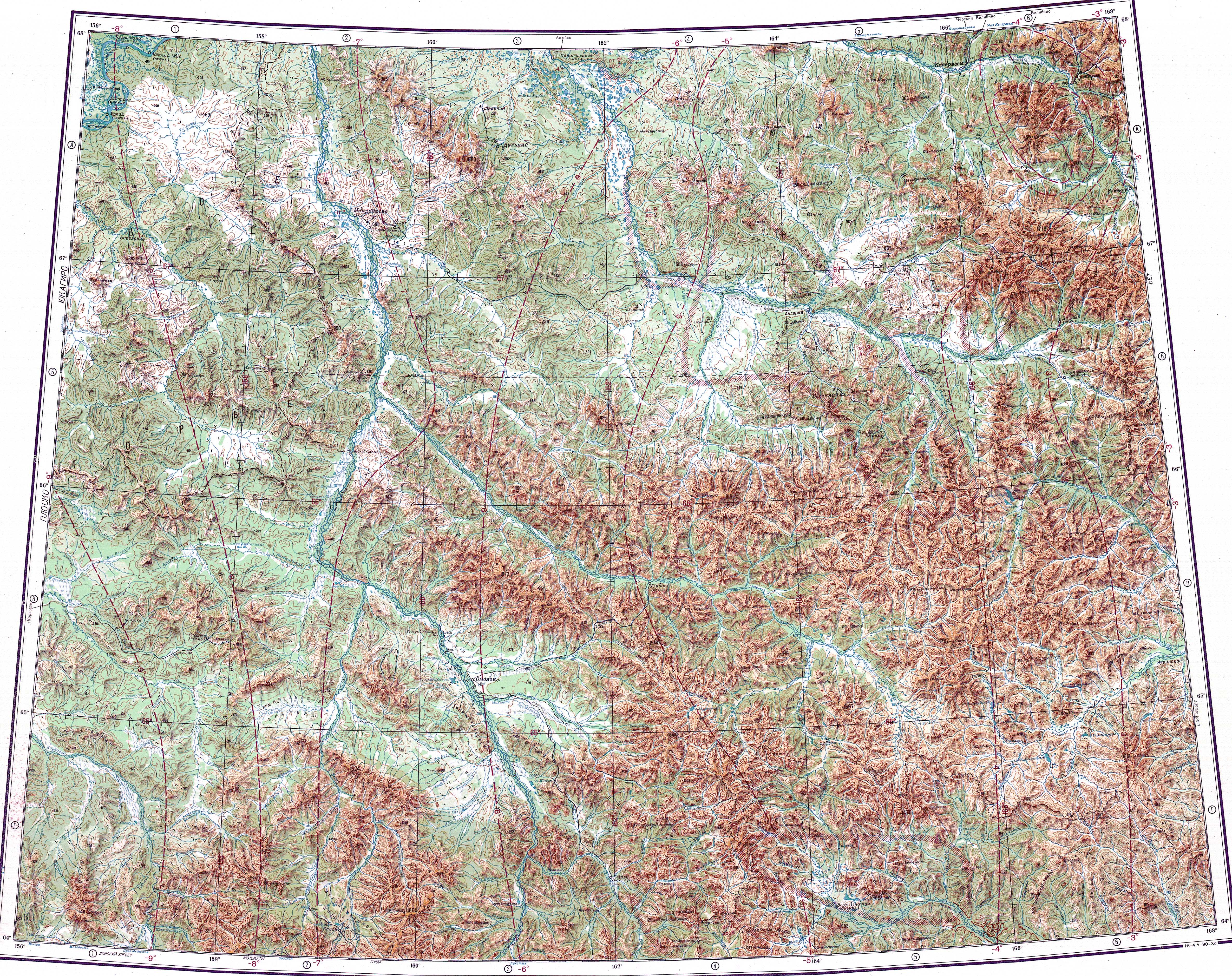
The Oloy (ru|Олой) is a river in Magadan Oblast in Russia, a right tributary of the Omolon (Kolyma's basin). The length of the river is 471km (293miles). The area of its drainage basin is . The river flows through sparsely populated areas of Chukotka.
It has its sources in the Ush-Urekchen range, at the confluence of Left Oloy and Right Oloy. It flows roughly northwestwards between the Ush-Urekchen to the south and the Oloy Range to the north.[1]