
| Nakas | |
| Other Name: | Накас / Наҡаҫ |
| Elevation M: | 667.6 |
| Prominence M: | 364 |
| Location: | Orenburg Oblast Russian Federation |
| Map: | Russia Orenburg Oblast#Russia |
| Map Relief: | yes |
| Range: | Southern Urals, Ural Mountains |
| Coordinates: | 52.5447°N 56.2575°W |
| Period: | Permian, Triassic |
| Easiest Route: | From Tyulgan |
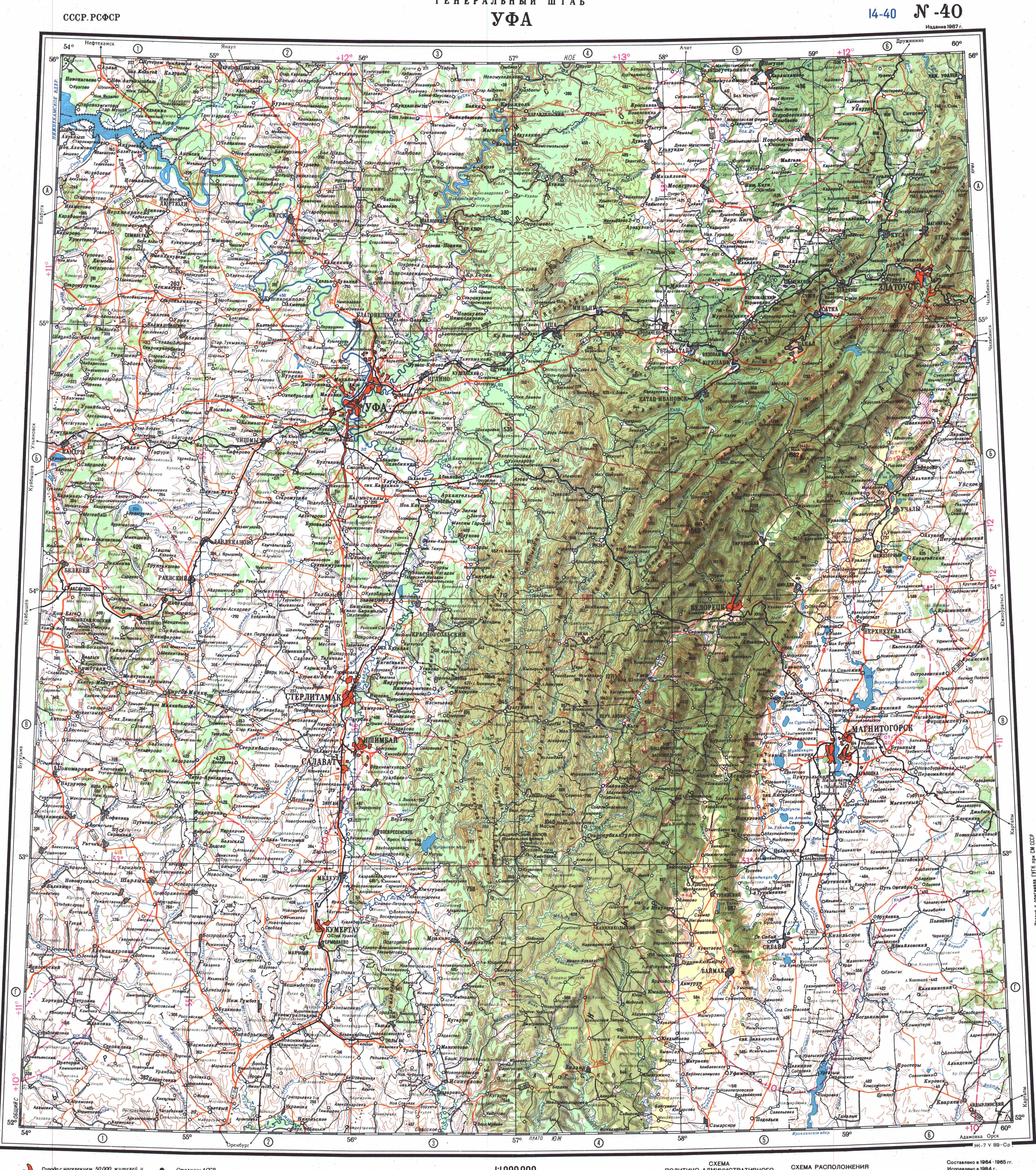
Nakas (ru|Накас; ba|Наҡаҫ)[1] also known as Maly Nakas,[2] is a mountain in the Southern Urals, Russian Federation. Its largest part is in Orenburg Oblast, with a small section in Bashkortostan.[3] [4]
The Nakas rises in northern Tyulgansky District, near the border with Bashkortostan. Rather than a mountain or ridge the Nakas is an elevated area, where its 667.6m (2,190.3feet) high summit —the highest point of Orenburg Oblast— is only a slightly bulging plateau.[5] Despite the lack of pronounced relief the Nakas forms an important drainage divide, separating the basins of the Belaya, Salmysh and Bolshoy Ik rivers.[2] [6]
Nakas is a relatively woody area; its oak and linden forests stand out in the surrounding steppes of the region.[2] The Nakas includes the Tugustemirov Forest, a protected area with a number of tree and rare plant species.[7]