
| Middle Andaman Island | |
| Map: | India Andaman and Nicobar Islands#Bay of Bengal |
| Coordinates: | 12.5°N 92.8333°W |
| Location: | Bay of Bengal |
| Archipelago: | Andaman Islands |
| Waterbody: | Indian Ocean |
| Total Islands: | 1 |
| Area Km2: | 1,523 |
| Area Footnotes: | [1] |
| Length Km: | 70 |
| Width Km: | 28 |
| Coastline Km: | 272 |
| Elevation M: | 512 |
| Highest Mount: | Mount Diavolo |
| Country Admin Divisions Title: | District |
| Country Admin Divisions: | North and Middle Andaman |
| Country Admin Divisions Title 1: | Island group |
| Country Admin Divisions 1: | Andaman Islands |
| Country Admin Divisions Title 2: | Island sub-group |
| Country Admin Divisions 2: | Great Andaman |
| Country Admin Divisions Title 3: | Taluk |
| Country Admin Divisions 3: | Multiple |
| Country Largest City: | Rangat Metropolitan (pop 10,000) |
| Population: | 55,632 |
| Population As Of: | 2011 |
| Population Footnotes: | Only middle andaman villages from the 2011 census |
| Density Km2: | 36.5 |
| Ethnic Groups: | Hindu, Andamanese, Jarawa |
| Timezone1: | IST |
| Utc Offset1: | +5:30 |
| Postal Code Type: | PIN |
| Postal Code: | 744202[2] |
| Area Code Type: | Telephone code |
| Area Code: | 031927[3] |
| Iso Code Type: | ISO code |
| Iso Code: | IN-AN-00[4] |
| Additional Info: | |
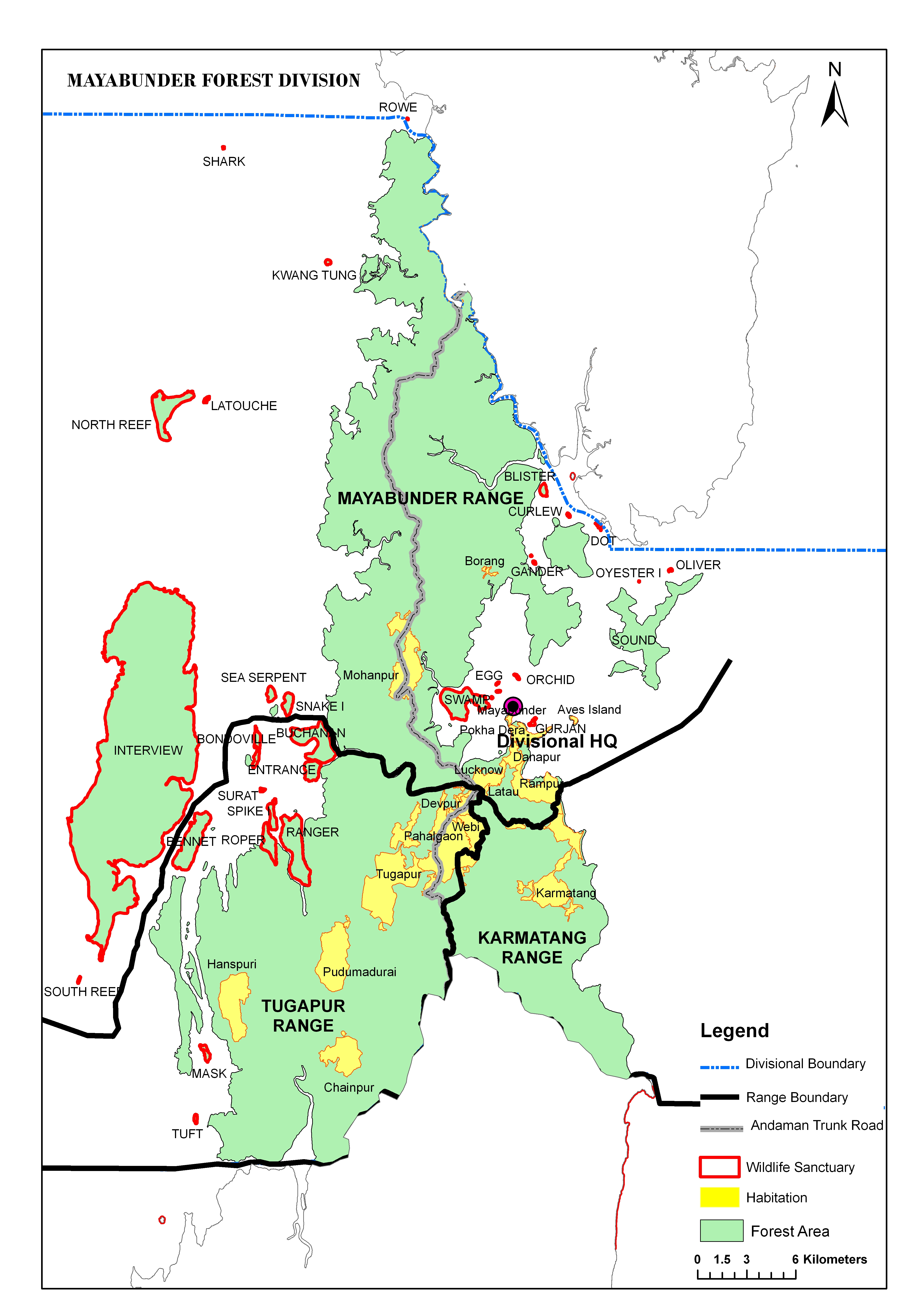
Middle Andaman Island is an island of the Andaman Islands. It belongs to the North and Middle Andaman administrative district, part of the Indian union territory of Andaman and Nicobar Islands.[5]
The island belongs to the Great Andaman Chain and is located 73km (45miles) north from Port Blair. It is the central island of the Great Andaman archipelago of India, with a total area of 1,536 km2.Middle Andaman is separated from North Andaman Island by Austen Strait, and from Baratang Island at the south by Homfray's Strait, both shallow and narrow channels, a few hundred metres wide; and from Interview Island at its west by the navigable Interview Passage.[6]
The island's coastline was inundated by the tsunami resulting from the 26 December 2004 Indian Ocean earthquake, though the effect was far less severe when compared with other Islands of Andaman and Nicobar Islands.
Politically, Middle Andaman Island, is part of Mayabunder and Rangat Tehsils.[7] [8] [9]
Population of Middle Andaman consists of Bengali, Tamil and Keralite settlers. The island is also home to many of the indigenous Jarawa people. The main occupation of the inhabitants is farming and Agriculture.
Middle Andaman's main towns (Metro population in brackets) are Rangat (10,000), Mayabunder (5,565), Bakultala (4,454), Nimbutala (3,063), and Kadamtala (3,008).
According to the 2011 census of India, the Island has x households. The effective literacy rate (i.e. the literacy rate of population excluding children aged 6 and below) is 76%.[10]
| Population | 55632 | 28767 | 26865 | |
| Children aged below 6 years | 2065 | 1039 | 1026 | |
| 0 | 0 | 0 | ||
| 3 | 3 | 3 | ||
| Literates | 42294 | 22946 | 19348 | |
| Workers (all) | 2 | 2 | 0 | |
| Main workers (total) | 2 | 2 | 0 |
The island hosts immaculate waterfalls, and pretty beaches.Adventurous fun such as Island camping, trekking, Scuba diving, snorkeling, and other exciting water sports offer you chance to indulge in real pleasure.[11]