
| Kyaw | |
| Native Name: | ကျော |
| Settlement Type: | Town |
| Pushpin Map: | Burma |
| Pushpin Label Position: | bottom |
| Pushpin Map Caption: | Location in Burma. |
| Coordinates: | 21.9272°N 94.3619°W |
| Subdivision Type: | Country |
| Subdivision Type1: | Region |
| Subdivision Name1: | Magway Region |
| Subdivision Type2: | District |
| Subdivision Name2: | Gangaw |
| Subdivision Type3: | Township |
| Subdivision Name3: | Gangaw |
| Elevation M: | 530 |
| Elevation Ft: | 1742 |
| Population Density Km2: | auto |
| Timezone: | MST |
| Utc Offset: | +6.30 |
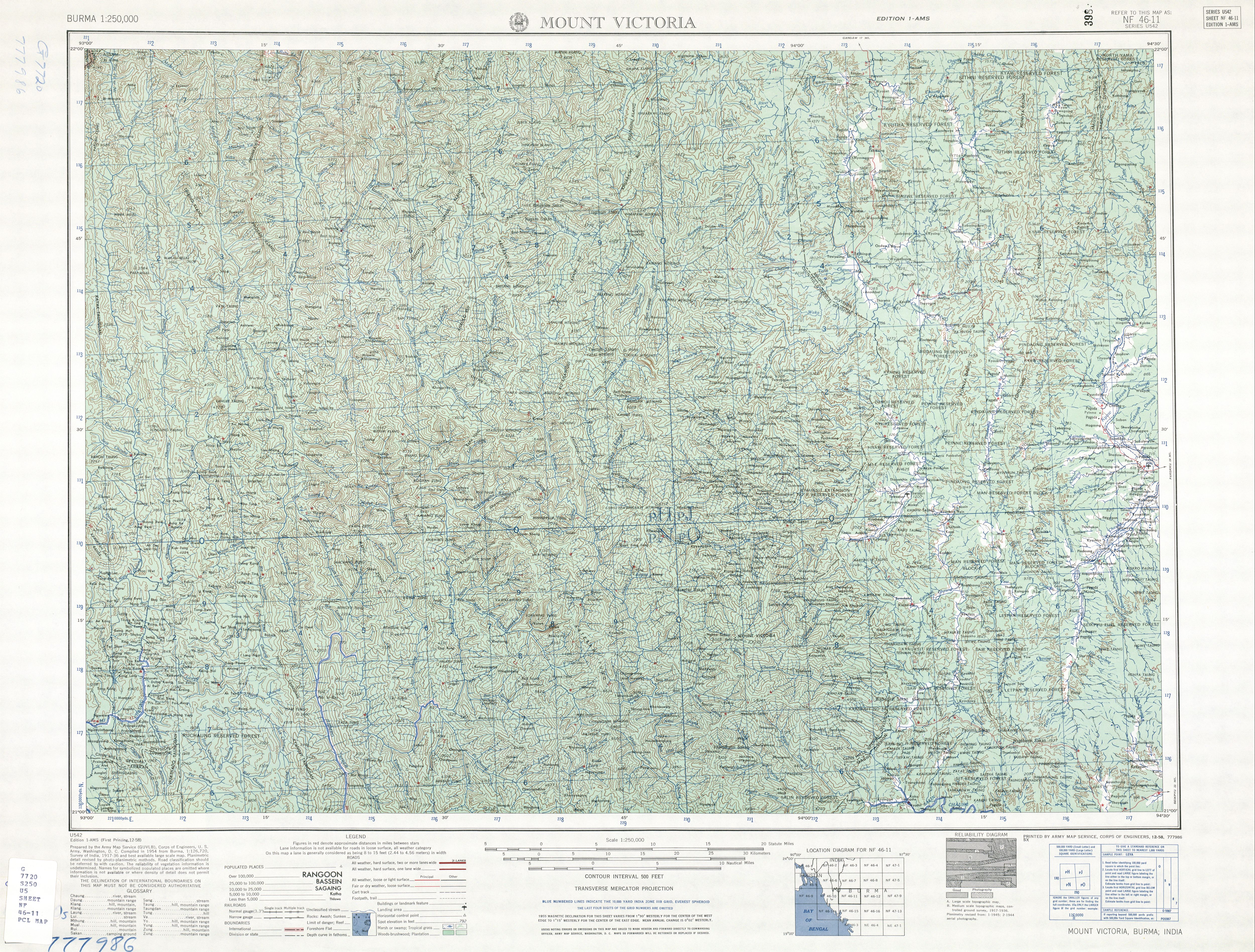
Kyaw[1] is a town in Gangaw Township, Pakokku District (Gangaw District), in the north-western part of the Magway Region in Myanmar. It lies on the left (eastern) bank of the Kyaw River.[2]
The railway from Pakokku to the Myittha River valley runs past Kyaw.[3]