
| Kwamelasemoetoe Airstrip | |
| Icao: | SMSM |
| Type: | Public |
| Operator: | Luchtvaartdienst Suriname |
| Location: | Kwamelasemoetoe, Suriname |
| Elevation-F: | 905 |
| Coordinates: | 2.3542°N -56.7931°W |
| Pushpin Map: | Suriname |
| Pushpin Label: | SMSM |
| Pushpin Map Caption: | Location in Suriname |
| Metric-Rwy: | y |
| R1-Number: | 10/28 |
| R1-Length-M: | 750 |
| R1-Surface: | Grass |
| Footnotes: | Sources: GCM Google Maps[1] |
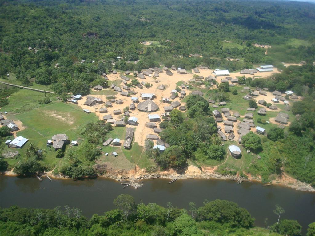
Kwamelasemoetoe Airstrip is an airport serving Kwamelasemoetoe, Suriname, a Trio Indian village in the south of Suriname in the Sipaliwini District. The name of the village means bamboo sand, named after nearby Sipaliwini River banks partly overgrown with bamboo.
Kwamelasemoetoe is just east of the Tigri Area (in light grey on the map), a triangular section of land disputed with Guyana.
Charter airlines serving this airport are:
 On 15 October 2009, an Antonov An-28 of Blue Wing Airlines, registered PZ-TST, departed the runway on landing and hit an obstacle. The aircraft was substantially damaged and four people were injured, one seriously.[2]
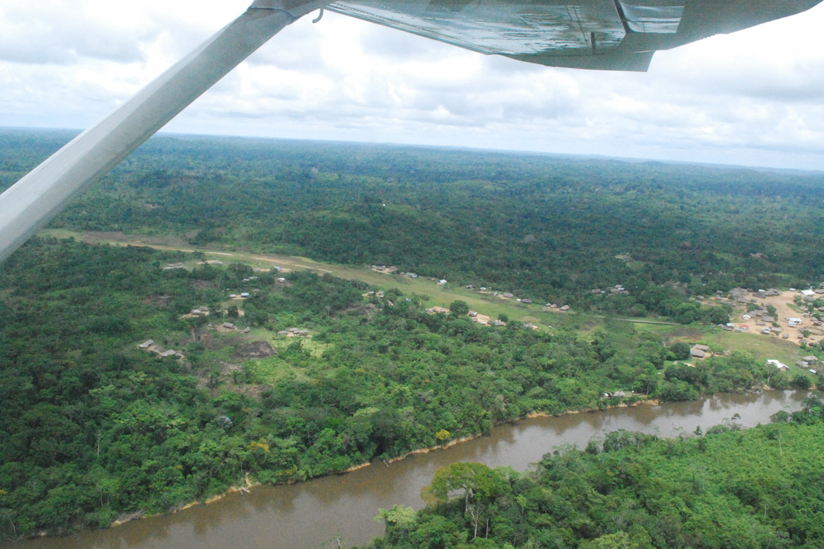