
| Grbavica | |
| Native Name: | Грбавица |
| Native Name Lang: | sr |
| Settlement Type: | Urban neighborhood |
| Pushpin Map Caption: | Location within Novi Sad |
| Subdivision Type: | Country |
| Subdivision Name: |  Serbia Serbia |
| Subdivision Type1: | Province |
| Subdivision Type2: | District |
| Subdivision Name2: | South Bačka |
| Subdivision Type3: | Municipality |
| Unit Pref: | Metric |
| Population As Of: | 2011 |
| Population Density Km2: | auto |
| Timezone1: | CET |
| Utc Offset1: | +1 |
| Timezone1 Dst: | CEST |
| Utc Offset1 Dst: | +2 |
| Postal Code Type: | Postal code |
| Area Code Type: | Area code |
| Area Code: | +381(0)21 |
| Blank Name: | Car plates |
| Blank Info: | NS |
Grbavica (sr|Грбавица) is an area of the city Novi Sad, Serbia.
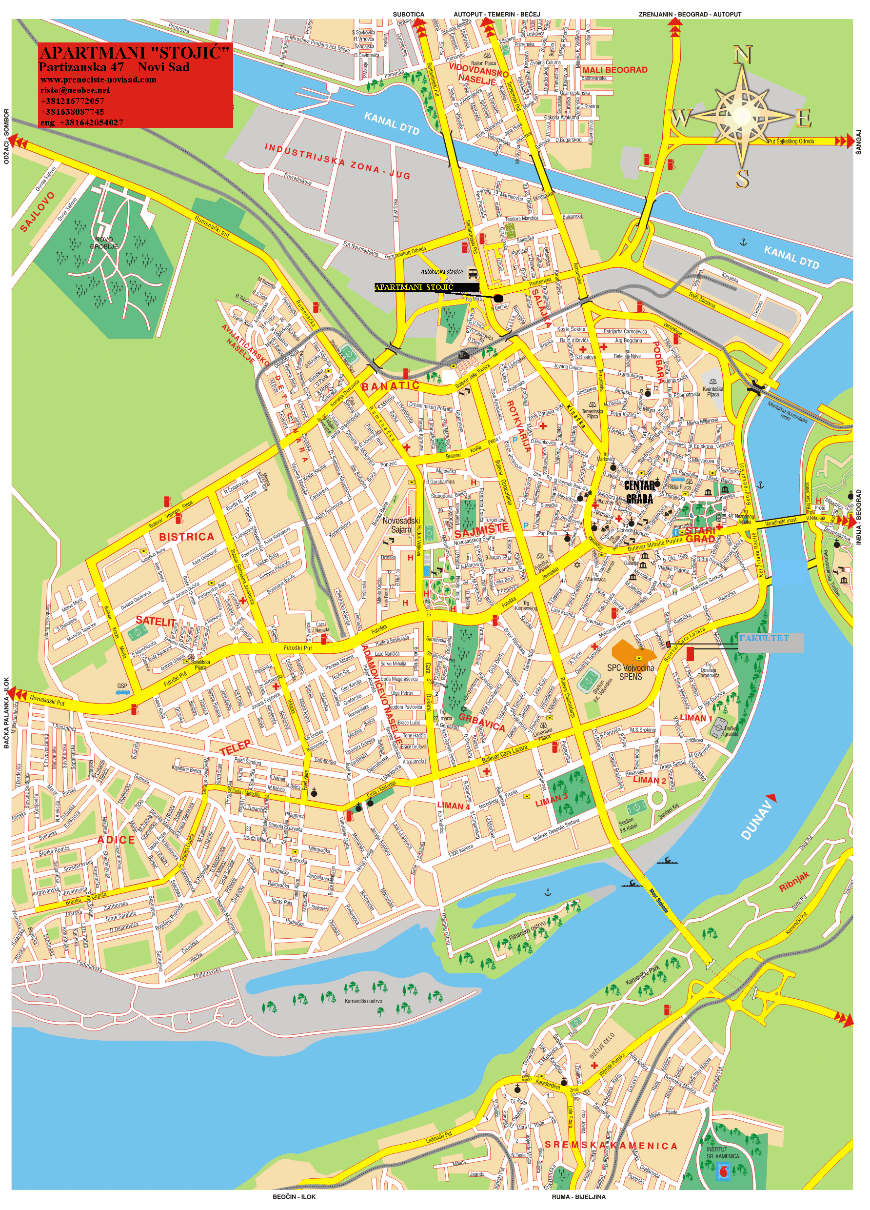
The northern border of Grbavica is Futoška ulica (Futoška Street), the western borders are Ulica Vojvode Knićanina (Vojvoda Knićanin Street) and Ulica Kola srpskih sestara (Kolo srpskih sestara Street), the southern border is Bulevar Cara Lazara (Tzar Lazar Boulevard), and the eastern border is Bulevar Oslobođenja (Liberation Boulevard).
Grbavica got its name from the Sarajevo settlement with the same name. When Grbavica in Novi Sad was built, the city used the same urbanistic plans, thus keeping the same name as well.
The neighbouring settlements are: Sajmište in the north, Stari Grad in the east, Liman in the south, and Adamovićevo Naselje in the west.
The city's Catholic and Jewish graveyards are located in Grbavica.