
| Dar Salah | |
| Translit Lang1: | Arabic |
| Translit Lang1 Type: | Arabic |
| Translit Lang1 Info: | Arabic: دار صلاح |
| Type: | Municipality type D (Village council) |
| Pushpin Map: | Palestine |
| Pushpin Map Caption: | Location of Dar Salah within Palestine |
| Coordinates: | 31.7122°N 35.2711°W |
| Grid Name: | Palestine grid |
| Subdivision Type: | State |
| Subdivision Name: | State of Palestine |
| Subdivision Type1: | Governorate |
| Subdivision Name1: | Bethlehem |
| Established Title: | Founded |
| Unit Pref: | dunam |
| Population Footnotes: | [1] |
| Population Total: | 4588 |
| Population As Of: | 2017 |
| Population Density Km2: | auto |
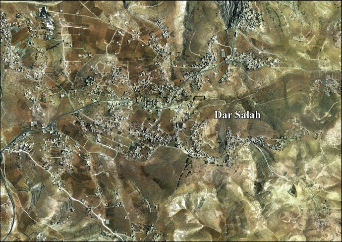
Dar Salah (ar|دار صلاح) is a Palestinian village located 6km (04miles) east of Bethlehem. The village is in the Bethlehem Governorate Southern West Bank. According to the Palestinian Central Bureau of Statistics, the village had a population of 4,588 in 2017.
As of February 2015, Dar Salah had the only ostrich farm in the Palestinian territories, a unique project by a local farmer.[2]