
| Chilubi District | |
| Settlement Type: | District |
| Mapsize: | 300px |
| Subdivision Type: | Country |
| Subdivision Name: |  Zambia Zambia |
| Subdivision Type1: | Province |
| Subdivision Name1: | Northern Province |
| Subdivision Type2: | Capital |
| Subdivision Name2: | Chilubi |
| Area Total Km2: | 5169.6 |
| Population As Of: | 2022 |
| Population Total: | 114011 |
| Population Density Km2: | auto |
| Timezone: | CAT |
| Utc Offset: | +2 |
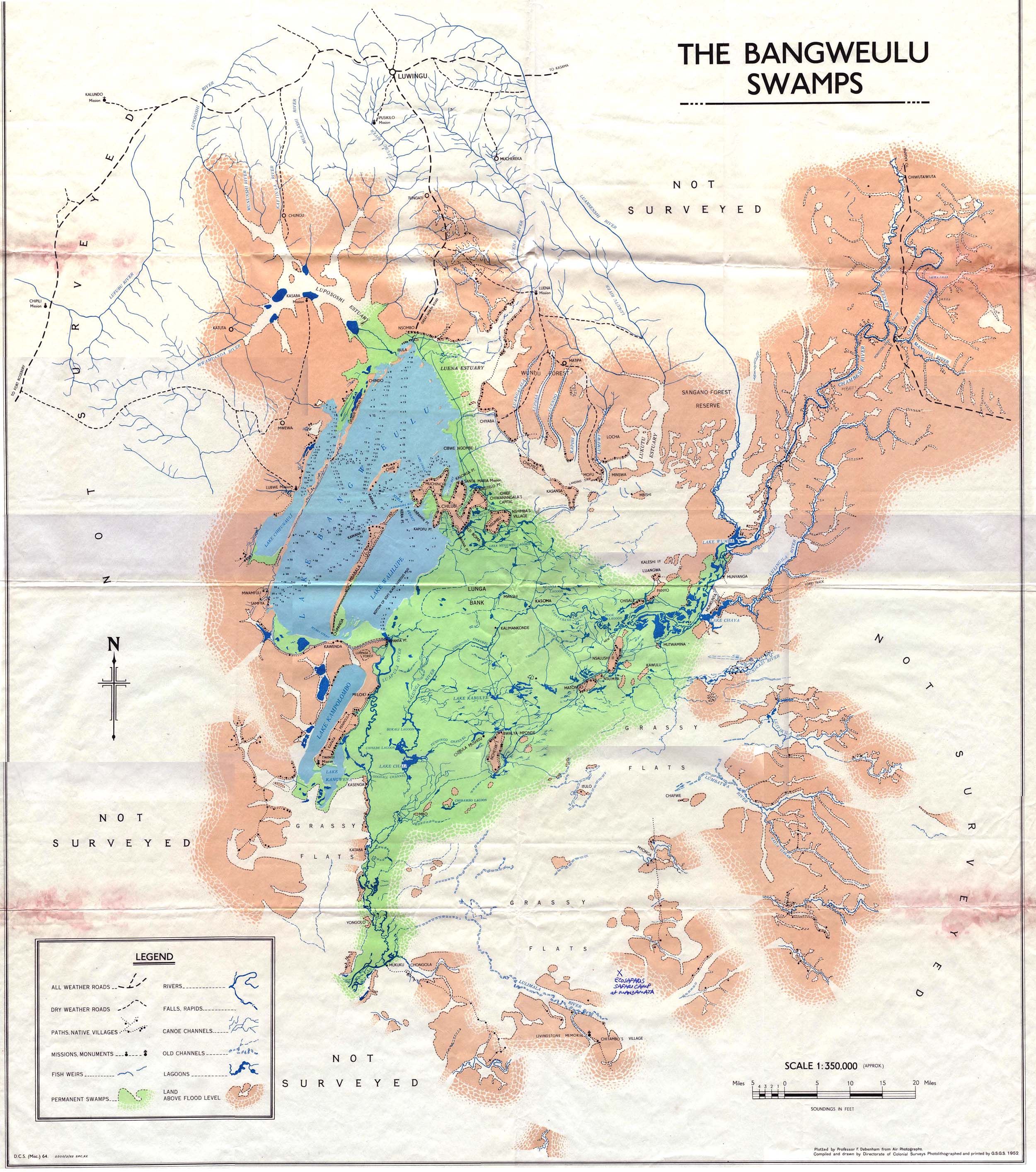
Chilubi District with headquarters at Chilubi is located in Northern Province, Zambia. It covers the north-east Lake Bangweulu and Bangweulu Wetlands containing several islands including Chilubi Island, and some of the mainland northeast of the lake. As of the 2022 Zambian Census, the district had a population of 114,011 people.[1]
Other islands in Chilubi District include Chichile, Kasansa, Panyo Island and Luangwa, all at the edges of the swamps where they dry out sufficiently in the dry season to form a connection to the mainland.[2]
Isangano National Park lies in the east of the district but it has no management and most of the wildlife has been poached out.[3]