
| Byssa | |
| Other Name: | Бысса |
| Source1 Coordinates: | 52.5486°N 132.1861°W |
| Source1 Elevation: | 800m (2,600feet) |
| Mouth Coordinates: | 52.4175°N 130.5656°W |
| Mouth Elevation: | 239m (784feet) |
| Progression: | Selemdzha → |
| Subdivision Type1: | Country |
| Length: | 235km (146miles) |
| Basin Size: | 6370km2 |
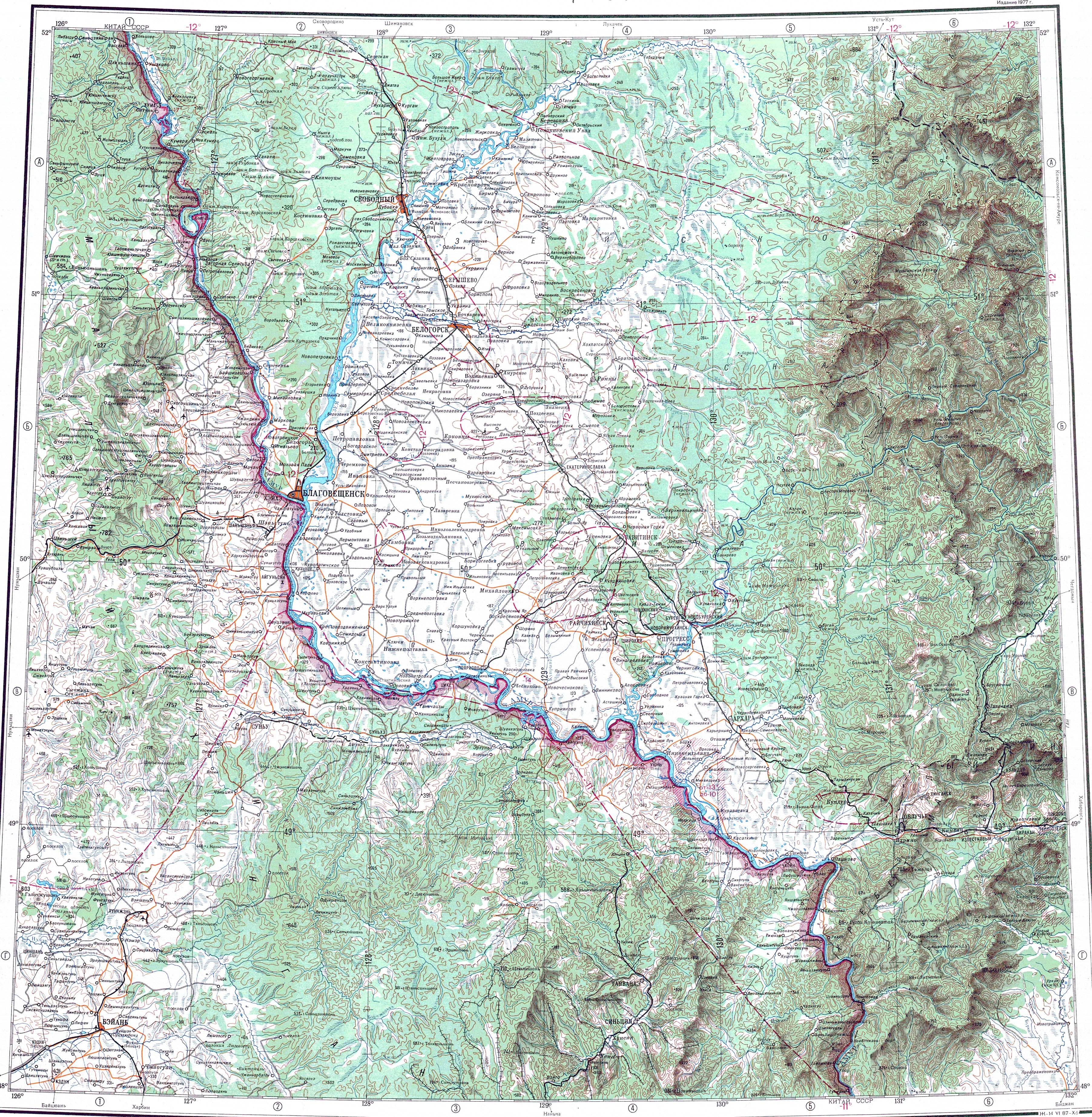
| Pushpin Map: | Russia Amur Oblast |
| Pushpin Map Caption: | Mouth location in Amur Oblast, Russia |
The Byssa (ru|Бысса) is a river in Selemdzhinsky District, Amur Oblast, Russia. It is the third longest tributary of the Selemdzha, with a length of 235km (146miles) and with 6370km2 the third in drainage basin area, after the Orlovka. The name of the river originated in the Evenki language.
The river flows across a largely uninhabited area except for Byssa and Fevralsk villages in the area of its mouth. South of Fevralsk the river is crossed by the Far Eastern Railway line.[1]
The Byssa is a left tributary of the Selemdzha. It has its origin at an elevation of about 800m (2,600feet) in the northwestern slopes of the Turan Range. The river flows in a roughly southwestern direction with rapids and a winding channel in its upper reaches. After leaving the mountainous area it enters a wide swampy valley where it meanders slowly all along its middle and lower course.[2] Finally it meets the left bank of the Selemdzha 206km (128miles) from its mouth in the Zeya.[3]
The main tributaries of the Byssa are the 73km (45miles) long Iga from the left and the Sinnikan from the right.[2] There are hot springs in the middle basin of the river where the water reaches a temperature of 43C.[4]