
| Arman | |
| Other Name: | Армань |
| Pushpin Map: | Russia Magadan Oblast |
| Pushpin Map Caption: | Mouth location in Magadan Oblast, Russia |
| Source1 Elevation: | ca 700m (2,300feet) |
| Source1 Coordinates: | 60.8169°N 151.1389°W |
| Mouth Coordinates: | 59.6661°N 150.1139°W |
| Mouth Elevation: | 0m (00feet) |
| Subdivision Type1: | Country |
| Length: | 197km (122miles) |
| Basin Size: | 7770km2 |
The Arman (Russian: Армань; eve|Анманра) is a river in Magadan Oblast, Russian Far East. It is 197km (122miles) long, with a drainage basin of 7770km2.
The name of the Arman originated in the Even language, meaning "spring" or "mashed ice". In the upper course there are stretches where the river is known as Artelnyi (Agchakh) and Akhchan.[1]
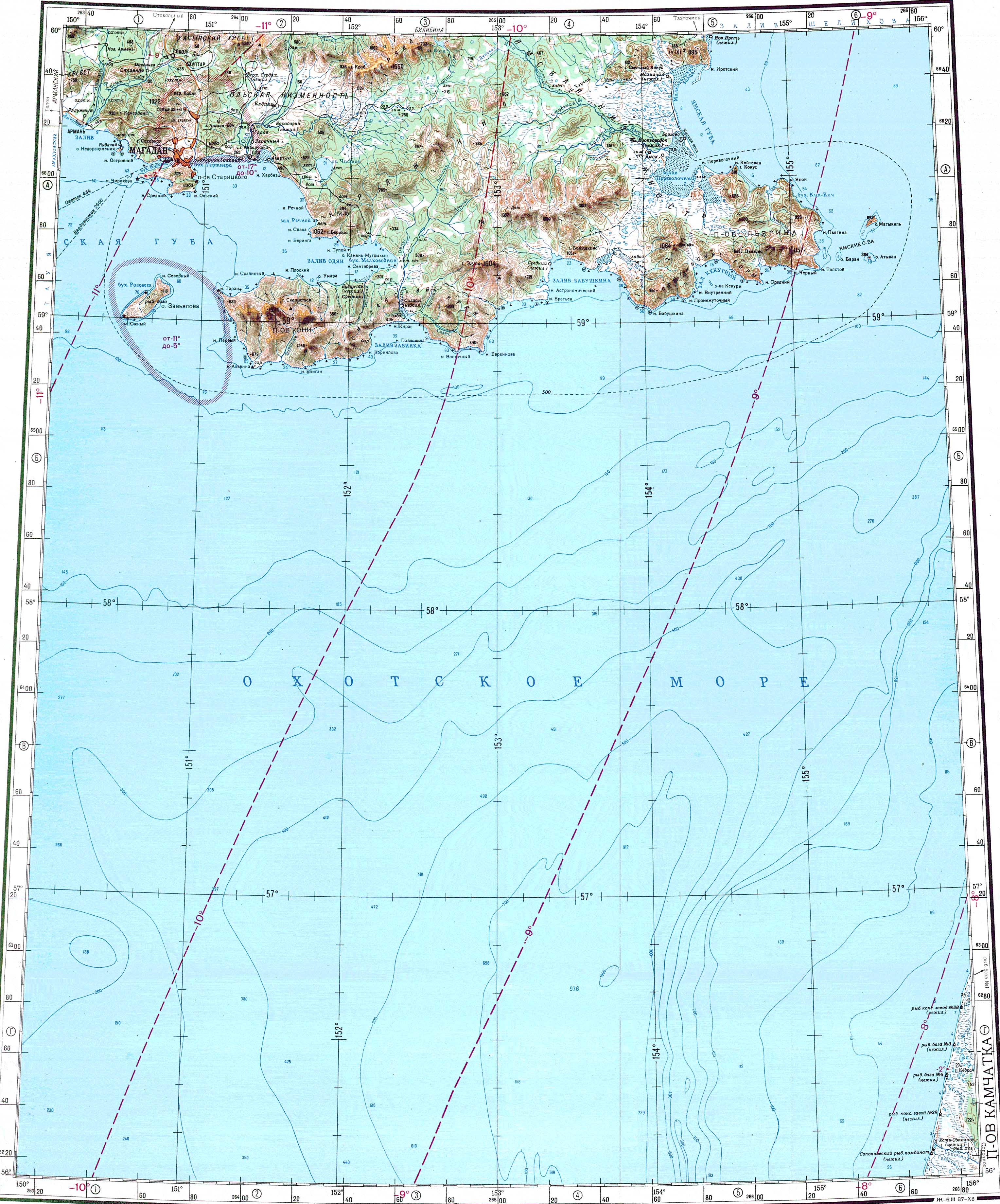
The river has its source in the Olsky Plateau of the Upper Kolyma Highlands, 35km (22miles) to the west of Atka at an elevation of about 700m (2,300feet). It flows roughly southwards across a mountainous area. In its last stretch is descends to a floodplain with wetlands to the west of Magadan, where it flows across the Arman Range. Further downstream it is joined by the Khasyn from the left. The river ends in a wide lagoon separated from the sea by a landspit. The waters of the Arman enter Taui Bay of the Sea of Okhotsk through a narrow channel at the western end of the spit. Arman village is located on the western side of the mouth of the river.[2] [3]
The main tributary of the Arman is the 115km (71miles) long Khasyn that joins it in its lower course from the left. Other tributaries are relatively small.[3] The river is frozen between October and May.[1]
The river is a spawning ground for salmon. Other main fish species in the Arman are coho salmon, grayling, Dolly Varden char and kundzha.[1]