
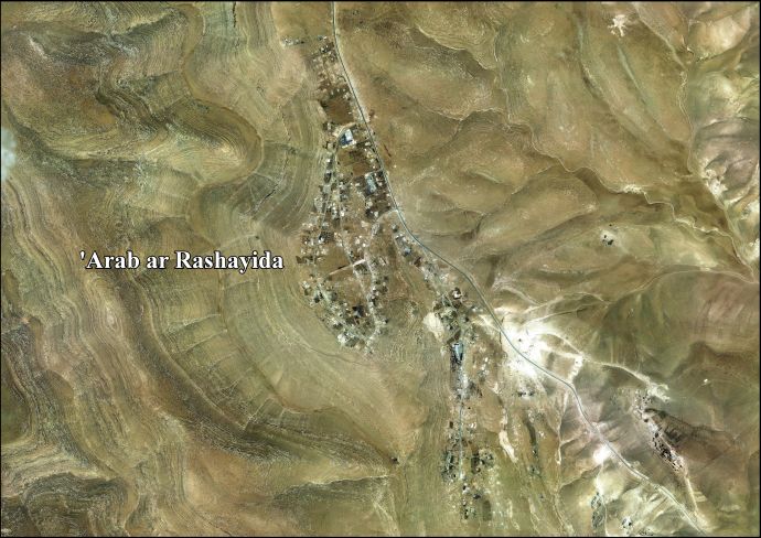
| 'Arab al-Rashayida | |
| Translit Lang1: | Arabic |
| Translit Lang1 Type: | Arabic |
| Translit Lang1 Info: | عرب الرشايدة |
| Translit Lang1 Type1: | Latin |
| Translit Lang1 Info1: | al Rashaydeh (official) |
| Type: | Municipality type D (Village council) |
| Pushpin Map: | Palestine |
| Pushpin Map Caption: | Location of 'Arab al-Rashayida within Palestine |
| Coordinates: | 31.5706°N 35.2328°W |
| Grid Name: | Palestine grid |
| Subdivision Type: | State |
| Subdivision Name: | State of Palestine |
| Subdivision Type1: | Governorate |
| Subdivision Name1: | Bethlehem |
| Established Title: | Founded |
| Unit Pref: | dunam |
| Population Footnotes: | [1] |
| Population Total: | 2,060 |
| Population As Of: | 2017 |
| Population Density Km2: | auto |
Arab al-Rashayida (ar|عرب الرشايدة) is a Palestinian village in the Bethlehem Governorate, central West Bank. According to the Palestinian Central Bureau of Statistics, the city had a population of 2,060 in 2017.
In the wake of the 1948 Arab–Israeli War, and after the 1949 Armistice Agreements, Al-Rashayida came under Jordanian rule.
Since the Six-Day War in 1967, the village has been under Israeli occupation.
After the 1995 accords, 5.7% of al-Rashayida's land was classified as Area A, 1.1% classified as Area B, 10.2% classified as Area C, while the remaining 83% is classified as "nature reserve".[2]